Hello everyone! This is a friendly reminder that any of these fun places we may visit, we are a guest at. Please treat both businesses and trails with the utmost respect. We here at Hidden California follow the 'Leave no Trace' mantra, meaning whatever you bring with you comes back with you. If you see trash on a trail, please do your part to help remove it. Remember, we are not picking up trash from another person but instead cleaning up for Mother Nature. Happy adventures!
Directions: Start at Burney Falls: and head north on CA-89. Cross the Lake Britton overpass . Take a sharp right: onto Eagle Mountain Lane. Continue on the dirt road: for about a quarter-mile. You’ll see the bridge on your right
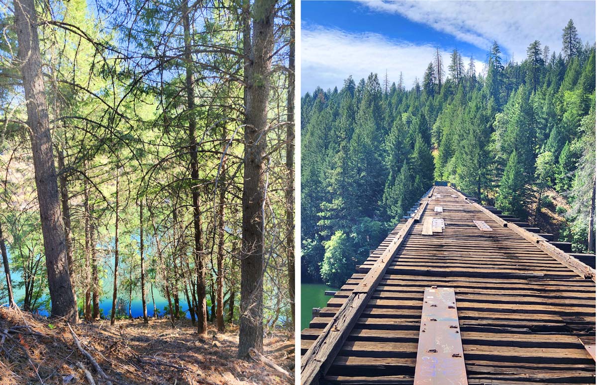
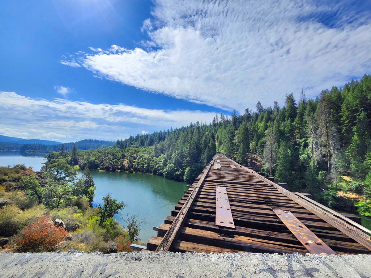
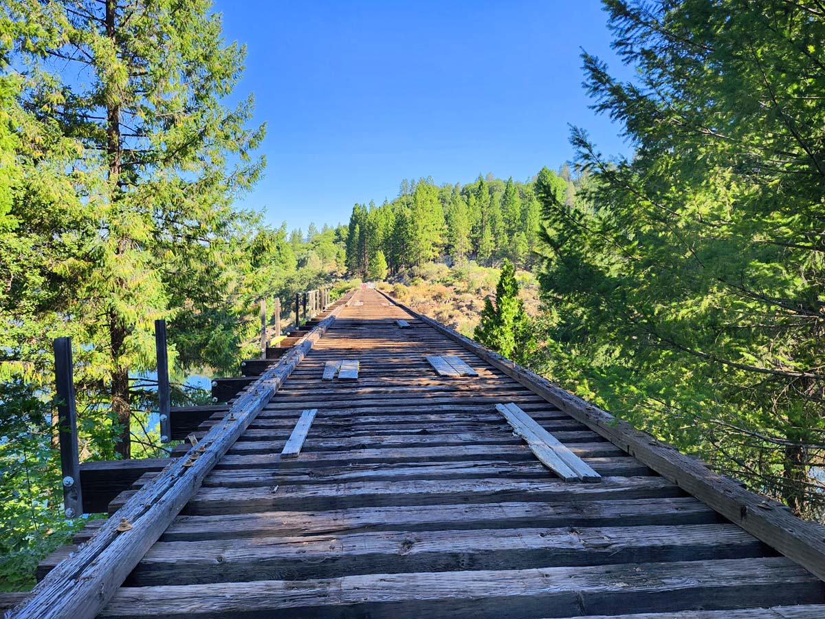
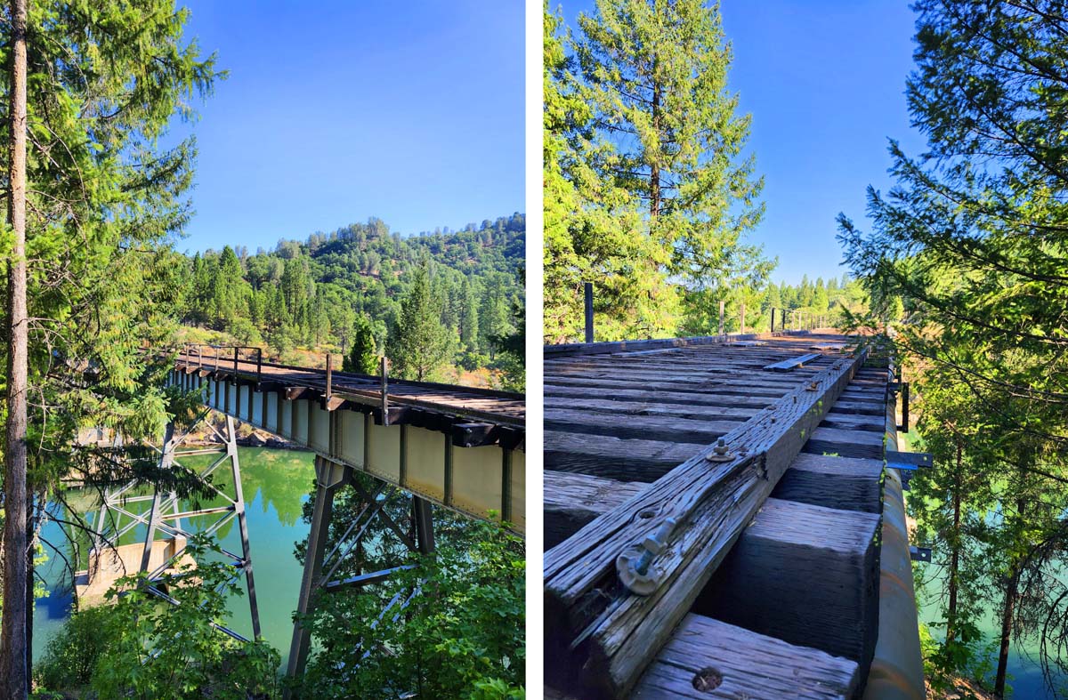
My heart still races every time I see the railroad bridge from Stand by Me, the iconic 1980’s movie filmed in Oregon and Northern California. Seeing the bridge is easier than most people would think. Where Gordie and Vern jumped to escape the train is accessible from Highway 89 just north of McArthur Burney Falls State Park.
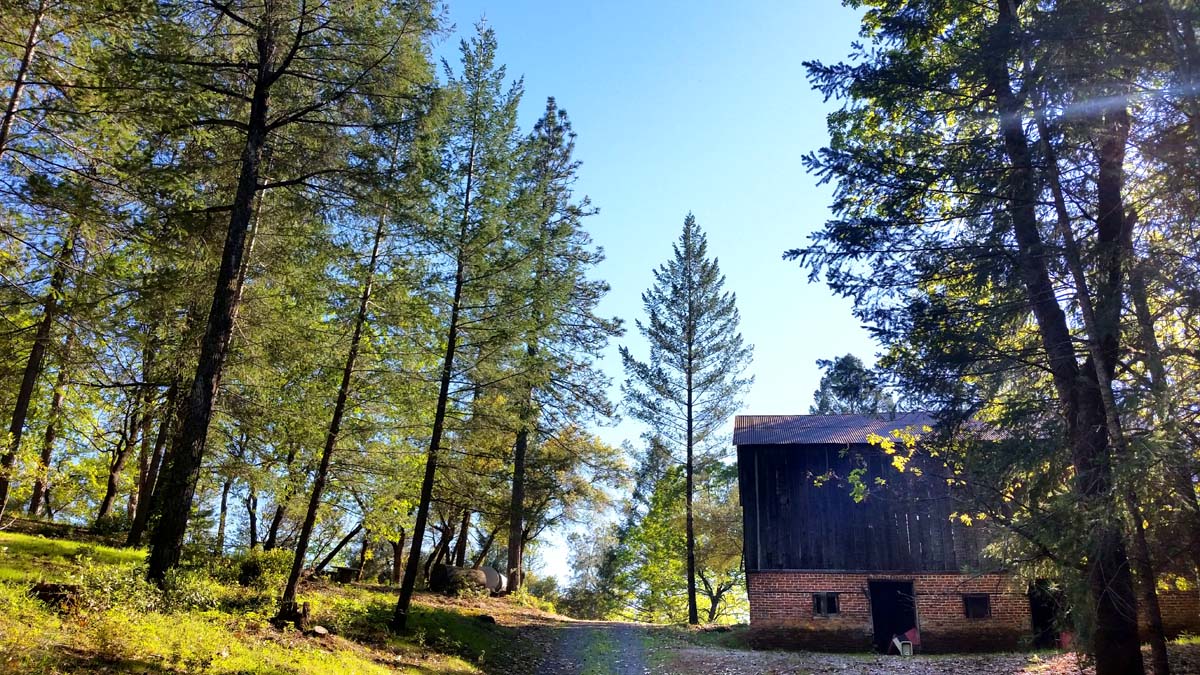
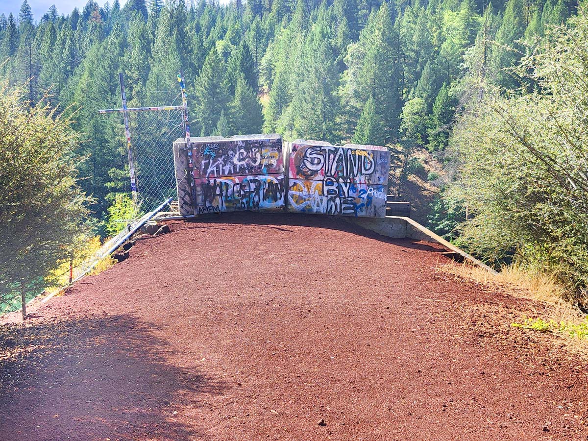
Turn right into PG&E-owned Dusty Campground on Eagle Mountain Lane and you will soon be at the bridge. Currently barricaded from both sides because it is unsafe to cross, in the future you will be able to cross the bridge again as part of the 80-mile Great Shasta Rail Trail!
Approach from the south side of the bridge takes a little more effort. You can hike or bike the Great Shasta Rail Trail from the trailhead off Black Ranch Road in Burney, drive in on Rim of the Lake Road (seasonally closed to public access by Sierra Pacific Industries), or swing by while hiking the Pacific Crest Trail by taking the old road to Rim of the Lake Spring at mile 1415.9.
The railroad trestle bridge was originally constructed over Lake Britton in 1955 by the McCloud River Railroad to haul lumber out of the Burney area to the huge sawmill in McCloud. MCRR was still active when Stand by Me was filmed, but the Burney section track was removed in 2008. In 2012, most of the line east of McCloud to Burney was purchased by the Shasta Land Trust on behalf of the Great Shasta Rail Trail Association (GSRTA).
